by Tom Rogers, Executive Director
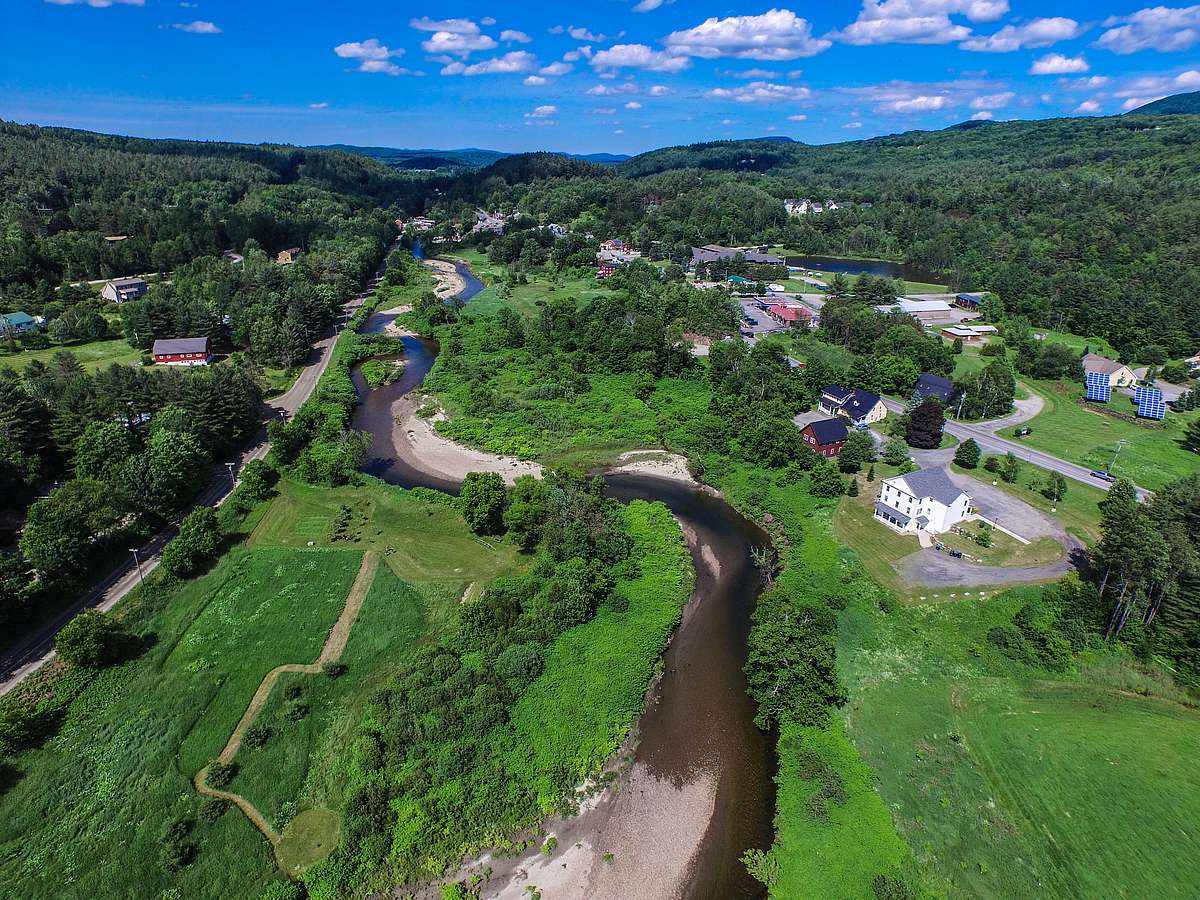
It would be difficult to imagine how different the Stowe area would be without our conserved lands. Where would we bike or snowshoe without places like Cady Hill or Sterling Forest? What would the ridgeline of Mt. Mansfield look like if the proposed Green Mountain Parkway had come to fruition nearly a century ago, turning the tops of our mountains into a paved highway?
How would we attract tourism dollars to our valley if visitors were greeted at Mayo and Ricketson farms not by the gentle grazing of black and white cows, but by blacktop and sprawl?
Thankfully, our community has a long and proud history of protecting important lands for conservation, and it is a tradition that we continue to this day. Conserved lands are where we recreate with friends, connect with nature and appreciate a moment of silence. They filter the air we breathe and the water we drink, provide us with firewood, lumber and maple syrup. They store carbon and cool the planet.
Conserved lands are the foundation of the Stowe area’s tourism and outdoor recreation economy and are central to our quality of life.
But for all these benefits that we appreciate daily, they have been quietly providing another service that often goes unnoticed. Protecting and restoring forests, wetlands, rivers and streams is the most effective, most cost-efficient defense against increasingly powerful storms.
The two massive rainstorms that battered our valley just three weeks apart earlier this summer washed out roads and flooded basements. They resulted in millions of dollars of damage to private property and public infrastructure. Extreme weather events are notorious for unevenly and unfairly distributing the damage they leave in their wake and these floods were no exception, with some families having lost so much in such a short time.
But I can’t help but think about the widespread and catastrophic destruction that might have resulted if the community had not spent decades committed to the task of protecting the natural landscape.
The numbers affirm the benefits of conservation for flood protection. According to a study from Penn State, in a storm that drops an inch of rain, an acre of healthy forest releases only 750 gallons of runoff. The equivalent acre of pavement releases 27,000 gallons of runoff from the same storm. That’s 36 times the amount of stormwater that forested land can absorb.
However, it is wetlands that are the true champions in protecting communities from flooding. An acre of healthy wetland can store a whopping 1.5 million gallons of extra water during a flood event.
When we protect the natural landscape, we are not only providing flood protection to our own community but to every community that lives downstream from us. The mountains that flank our valley serve as the headwaters of both the Winooski and the Lamoille River watersheds — rivers that pass through the towns of hundreds of thousands of our fellow Vermonters. Imagine the potential for devastation from a powerful storm to these towns if the Green Mountain Parkway had been built and the flanks of Mt. Mansfield were covered not by healthy forests and streams but by pavement and parking lots. The decisions we make in Stowe will affect all towns downstream, including people living in low-income neighborhoods that have historically been built on floodplains.
A tale of two towns, Rutland and Middlebury, demonstrates the power of nature to protect downstream communities. During Tropical Storm Irene, Rutland was severely damaged by floodwaters from Otter Creek. Middlebury is located along Otter Creek downstream of Rutland, yet it was largely spared from flooding. What made the difference?
The floodwaters were absorbed by an extensive wetland complex between the two towns that had been conserved and restored over many years by the Vermont Fish & Wildlife Department and The Nature Conservancy, in cooperation with many other partners. The peak water level of Otter Creek in Middlebury was one-third the peak water level in Rutland because these wetlands quickly absorbed the excess water and then released it slowly over several days. The conservation community is working together statewide to ensure that more Vermont towns benefit from these natural buffers to storms.
We have long understood the benefits of conservation to the local economy. Every time someone purchases a mountain bike to ride Adams Camp or stays in a hotel to photograph Bingham Falls, those dollars support local livelihoods. As a warming climate pushes Vermont’s storms to become more frequent, powerful and potentially destructive, increasing investments in nature will pay compounding dividends in ensuring the health and safety of the community.